Survey-Grade Accuracy.
Acquired Faster.
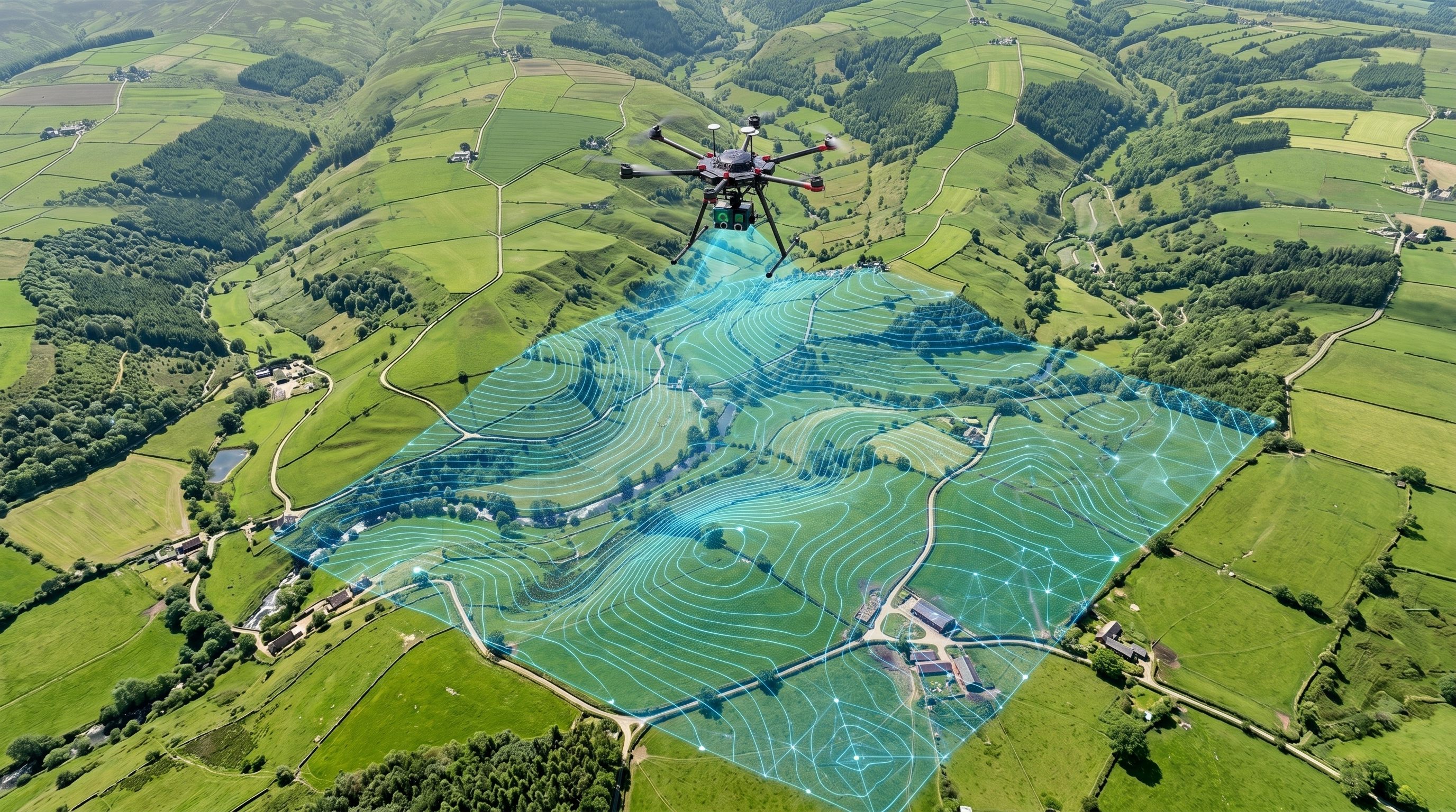
Transforming land surveying, construction, and mining in Chennai with RTK/PPK enabled drones. We deliver high-precision 2D Orthomosaics, 3D Point Clouds, and Digital Elevation Models safely and efficiently.
Actionable Spatial Data
We don't just capture images; we generate highly accurate, measurable, and georeferenced datasets tailored for CAD and GIS software.
2D Orthomosaic Maps
High-resolution, geometrically corrected aerial maps of large areas. Perfect for site planning, boundary mapping, and layout designing.
- Measure true distances & areas
- High GSD (down to 1cm/px)
- GeoTIFF format delivery
3D Point Clouds
Millions of accurately plotted data points creating a dense 3D representation of your site. Essential for BIM, volumetric analysis, and urban planning.
- High-density photogrammetry
- Colorized RGB point clouds
- .LAS / .LAZ / .XYZ formats
DEM & Contour Mapping
Digital Elevation Models (DSM/DTM) and highly detailed contour lines. Crucial for drainage analysis, cut/fill calculations, and topographical surveys.
- Topographic map generation
- Volumetric stockpile analysis
- AutoCAD ready (.DXF) contours
Drone Surveying vs. Traditional Methods
Traditional land surveying using Total Stations is slow, labor-intensive, and limits data to sparse points. Drone photogrammetry revolutionizes this process.
Fraction of the Time
What takes a ground crew a week to survey, our RTK drones can map in a single day, dramatically accelerating your project timeline.
Enhanced Safety
Survey hazardous, steep, or inaccessible terrain (like active mines or unstable slopes) without putting personnel at risk.
Millions of Data Points
Instead of a few hundred points collected manually, drones capture millions of points, providing a continuous, high-density reality capture.
Our End-to-End Workflow
We follow a strict, standardized operational procedure to guarantee survey-grade absolute accuracy and reliable deliverables.
Project Planning
Airspace checks, parameter definition, and automated flight path generation based on required GSD.
GCP Placement
Laying and recording Ground Control Points using DGPS/RTK rovers for absolute spatial accuracy.
Data Acquisition
Autonomous drone flights capturing high-overlap nadir/oblique imagery across the site.
Photogrammetry
Processing thousands of images into cohesive orthomosaics and 3D models using advanced software.
Quality & Delivery
Accuracy verification against checkpoints and delivery of CAD/GIS ready file formats.
Industries We Serve
Real Estate & Urban Planning
Plot layout designing, boundary marking, and site feasibility studies.
Mining & Aggregates
Volumetric calculations for stockpiles, pit mapping, and safety inspections.
Infrastructure & Construction
Highway alignments, progress monitoring, and as-built surveys.
Agriculture & Forestry
Topographical data for irrigation planning and large estate boundary mapping.
Transparent Mapping Packages
Professional deliverables scaled to your project size. Rates are indicative; final quotes depend on location, terrain complexity, and GCP requirements.
Ideal for real estate plots, boundary marking, and visual site context.
- High-Res Orthomosaic Map
- Relative GPS Accuracy
- GeoTIFF / PDF Delivery
- Distance & Area Measurements
- 48-Hour Turnaround
Comprehensive dataset for architects, engineers, and construction planning.
- Everything in Basic 2D
- RTK/PPK Absolute Accuracy (<5cm)
- Digital Elevation Model (DSM/DTM)
- Contour Lines (AutoCAD DXF)
- 3D Point Cloud (.LAS)
- GCP Laying & Measurement
Specialized analysis for quarries, mining, and large-scale infrastructure.
- Large Scale Mapping (500+ Acres)
- Stockpile Volumetric Calculations
- Cut and Fill Analysis
- Recurring Monthly Monitoring
- Detailed PDF Survey Reports
* For projects requiring DGPS/Rover based Ground Control Points (GCPs) established by our surveyors, additional charges may apply based on site terrain.